
Finally something colder for Southport and the rest of the UK next week
The main weather news has to be “it is going to turn colder” but of course it is, it’s November and it’s been very mild, for a good while. We’re heading into winter and by now there would have usually been more scraping of cars in the morning and that worry about ice. As colder air sweeps down through the UK on Sunday, frost and the risk of ice patches. Beyond that, uncertainty but signs of a possible decent cold plunge from the Arctic.
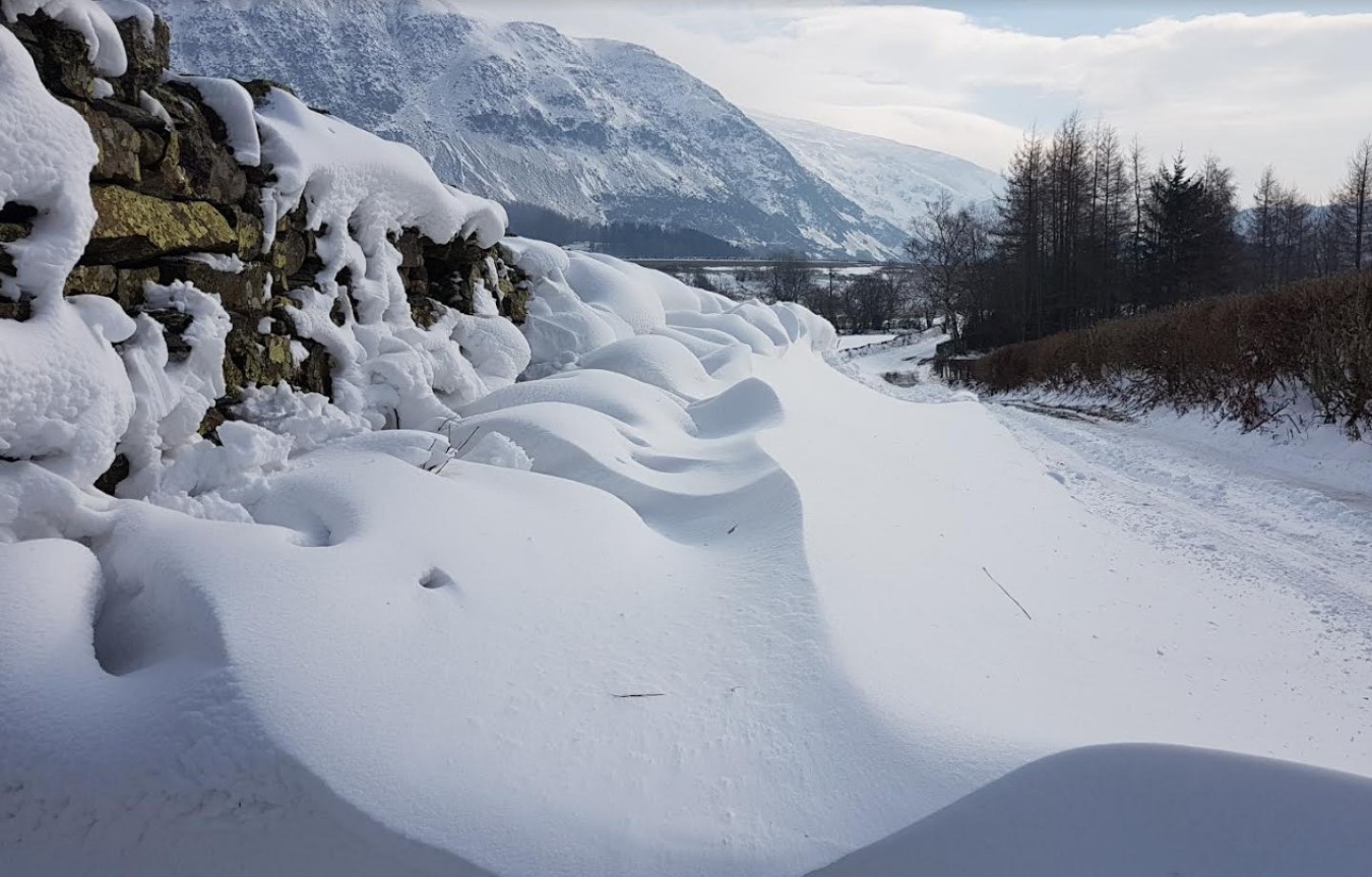
What about snow? There was a little snow in the showers last night over Scotland, but just for the tops of the mountains as colder air brushed by in the north. It will be much milder on Thursday but in the northerly flow by Sunday and that colder air for early next week there looks to be wintry showers over the highest hills of Britain and into the north coast of Northern Ireland. That isn’t several cms of snow at low levels whatever you may read. It’s icy rain showers, hail and sleet with snow for the Scottish mountains, Antrim Hills, Snowdonia, North York Moors and then as the winds veer, the wintry mix reaches hills in the Scottish Borders and the Pennines.
That wintry bit isn’t much but what is catching the eye, are signs of a pull of cold Arctic air later next week. This looks to have the potential to bring more snow showers. From the north or northeast and reach right down through the UK, with exposed areas being more prone.
We’re in a westerly flow today with just a scattering of rain showers, bright skies in between and a glorious sunrise. There is some early morning mist and murk for southern England and East Anglia where it is calm but northern Scotland is windy, further away from the Azores High. Temperatures today will be between 9C and 12C
So although we’ve had a cold front go through overnight and it does feel cooler there is a warm front on its way from the Atlantic. This will bring rain to northern parts this evening and overnight, particularly western Scotland and then on Thursday temperatures widely 12 to 15C. With brisk westerly flow, a few brighter eastern spots could see 16 or 17C. For most, it will be cloudy and grey in the morning, brighter by the afternoon. Very windy for northern Scotland Thursday night into early Friday. Still mild on Friday but a cold front from the north on Saturday will start the change for the weekend.
Once the front pushes south and allows the colder Arctic air to flow down, the ECMWF model shows the UK under the influence of high pressure to the NW. As this topples over Scotland, settling the weather down here, the flow will veer to the northeast. By midweek the high will be back out in the north Atlantic, a large low pressure over Scandinavia and a proper cold, flow looks to fall into place with snow showers from the north. The GFS has the high further west today and low centres over the UK, so not the direct snow shower highway from the north.
It’s enough to get coldies and snow lovers excited after quite a dull November so far. This is not about exact dates, definite cms of snow in the south nor time to buy extra milk. It is strengthening signs in the forecast models of a colder turn and the possibility of snow showers for some